Back Changanerivier Afrikaans Changane Catalan Changane CEB Changane German Changane Finnish Rio Chengane Portuguese
24°43′58″S 33°32′16″E / 24.73278°S 33.53778°E
| Changane River | |
|---|---|
 Course and Watershed of the Limpopo River. | |
 | |
| Location | |
| Country | Mozambique |
| Physical characteristics | |
| Source | |
| • elevation | 552 m (1,811 ft) |
| Mouth | Limpopo River |
• elevation | 13 m (43 ft) |
| Basin size | 65,570.55 km2 (25,316.93 sq mi) |
| Basin features | |
| Tributaries | |
| • right | Buabuassi, Chingovo, Panzene, Sangutane, Chichacuarre |
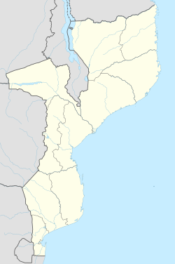
Location of the Changane River's mouth
The Changane River (Rio Changane) is a river in Mozambique, a tributary to the Limpopo River which it joins near the coast, just past the town of Chibuto. It forms part of the eastern boundary of Gaza Province. The Changane is the easternmost tributary of the Limpopo, entering it from the left near its mouth on the Indian Ocean.
